?
Reference: 1 m01 Compare
Read the reference size and the dimension in the question. Compare that span with the light shape.
Contiguous states and represented coastal islands; Alaska, Hawaii and distant territories excluded · projected east-west map span
GET A FEEL FOR IT
Size It Up Geography on Sizes.games: Recognise a country or island group, then compare its outline with another map at the reference scale. Geography asks you to estimate a projected north–south or east–west span, rather than land area. Read the direction and included territory before resizing. Play the category’s five-round Daily game, or practise with new five-round games in Unlimited.
Read the reference size and the dimension in the question. Compare that span with the light shape.
Drag the light shape, its handle or the ruler until the proportion looks right. Use − and + to fine-tune.
Click Lock in to see the actual outline, size and score. Complete five rounds for your total.
The diagrams use invented teaching values, separate from every Daily puzzle.
Choose a daily challenge or keep practising. Both use five rounds and the same scoring rules.
One fixed set of five comparisons for each category and local calendar date. The next Daily arrives at midnight in your local time zone. When you finish, your result stays locked in this browser.
Play DailyNew five-round games with no daily limit. Keep the current category, practise with new pairs, and start another game after the result. An unfinished run can resume here when browser storage is available.
Play UnlimitedThese are teaching ratios, not measurements of objects in today’s game.
A map twice as tall along the stated projected axis has twice that span. This says nothing by itself about the land area inside the outline.
Compare the labelled horizontal span, keeping the stated territory scope in mind. An island beyond the mainland can change the endpoints of that span.
Geography contains 40 country and island-group outlines. These eight examples include both north–south and east–west spans. Labels identify the included territory; similarly named maps on other sites may cover a different area.
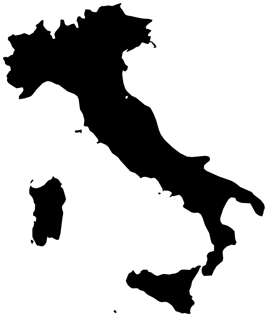
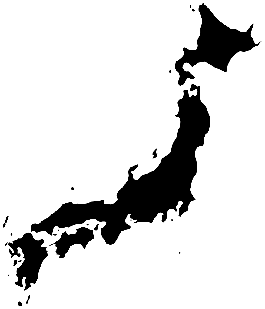
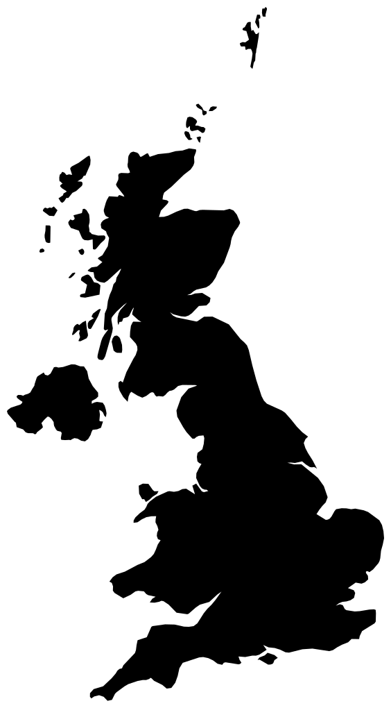
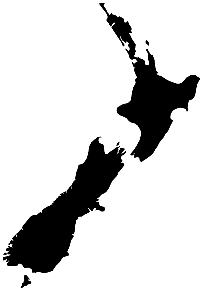
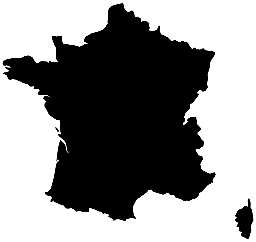
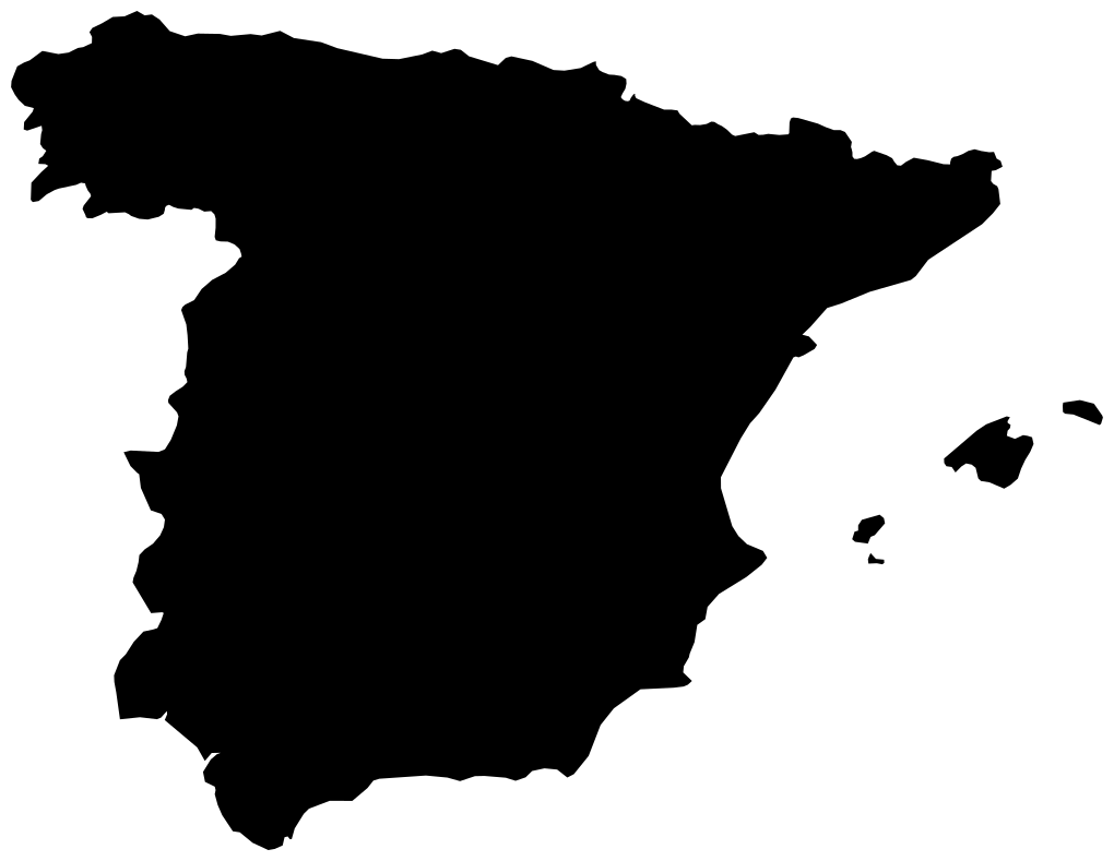
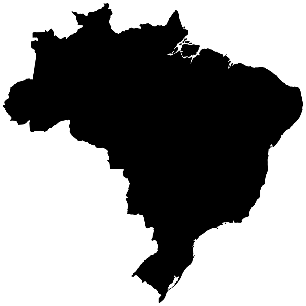
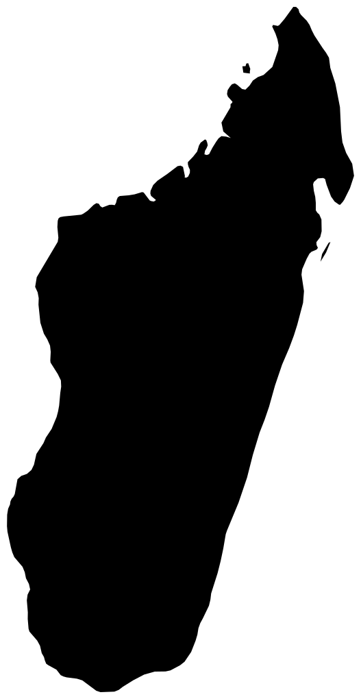
A long north–south country and a wide east–west country can look very different. Compare the named projected spans, rather than their filled areas.
Mainland, nearby islands and overseas territories can change an outline’s endpoints. Use the scope supplied in the question, not the broadest possible definition of a country.
Each guess earns a base score from 0 to 100 by comparing your estimate with the stated reference size. The closer the ratio is to 1, the higher the score. Half-size and double-size guesses earn the same base score.
For example, 80 base points in a ×3 round contribute 240 points. Five perfect rounds total 1,000.
| Ratio | Base points |
|---|---|
| 0.5× | 50 / 100 |
| 1× | 100 / 100 |
| 2× | 50 / 100 |
These maps use local equal-area projections of documented outlines. The scored reference is the outline’s stated horizontal or vertical span on that projection. It is not a travel distance, a ground-distance measurement or a comparison of land area. Generalised boundaries and the chosen island or territory scope affect the drawing. Each round identifies the axis and included territory; Sources explains the map basis.
Yes. Geography Unlimited keeps offering new five-round games from the map category. Your completed Daily result remains separate in this browser.
No. When browser storage is available, return to the same category and mode to resume. Progress stays on that browser and device; it does not automatically sync elsewhere.
No. You compare a stated projected north–south or east–west span. Two places can have similar spans and very different land areas. Do not use square kilometres as the answer to a linear-span question.
No. It is a reference span measured on this local projected outline. It should not be read as an official ground distance, road distance or distance between two named cities.
Follow the scope under each name. For example, the France · Europe entry includes the European mainland and Corsica while excluding overseas territories. Other entries state their own included island groups.
Projection choices affect how a map looks. A local equal-area projection provides the defined outline used here; the question still scores a labelled linear span. Equal area does not make that span a ground-distance measurement.